
Miami Township Neighbors by Block
Public records can describe a block without creating a reliable list of who is currently in every home. The GIS map supplies parcel geography. The Auditor ties parcel facts to a tax-roll owner. The Recorder supplies title and plat context. Election and archival sources have their own purpose and limits. Use them to answer a focused question about nearby land, history, or an individual public record, then date every finding before relying on it.
| Block source | What it can show nearby | Access and boundary |
|---|---|---|
| GIS parcel layers | Adjacent lot polygons, addresses, roads, and jurisdiction layers | Public map; no household roster |
| Auditor parcel roll | Owner, parcel facts, legal description, and mailing field | Mailing field may differ from situs and does not prove occupancy |
| Recorder documents | Successive owners, plats, mortgages, and encumbrance records | Party and legal-description workflow; older material is at the office |
| Individual voter lookup | One person’s public registration result | Not a street roster; confidential records remain protected |
| Permit and zoning records | Retained work or land-use history | Request or counter route; completed construction plans are destroyed |
| Library and local history | Directory, map, and newspaper context for a past block | Catalog and staff confirmation are needed for actual holdings |
An owner’s mailing address and the parcel geometry are not proof that the owner occupies the situs property. Nor can a map establish household members or private contact information. That distinction keeps a Miami Township neighbors search accurate and respectful.
Map Miami Township Neighbor Parcels
Clermont County General Online Maps supports search, identify, measure, print, and layer visibility. Search first for the reference address or a mapped feature. Turn on parcel and address layers, then use Identify to select the reference parcel and adjoining polygons. The map also publishes road, ZIP, precinct, zoning, township, and school-district layers. Those overlays explain geography and jurisdiction, not who occupies a structure.
The county’s General Online Maps viewer is the official starting point for parcel adjacency and map controls. Map findings become stronger when the parcel ID and legal description are carried into the Auditor and Recorder rather than treated as a final answer from a screen boundary.
Follow a Miami Township Block Outward
Start with one known address and work only across the immediately adjoining parcels. This gives the block method a clear boundary and avoids claiming a street-wide residents list from map data.
- Locate the reference address in General Online Maps and use Identify on its parcel.
- Record the parcel ID and legal description, then click the adjoining parcel polygons. Use Measure for lot or distance context only.
- Look up each identified parcel at the Auditor and capture the published owner, mailing field, situs address, and property facts with the source date.
- Take the parcel number, legal description, and any transfer reference to Recorder CountyFusion for document context.
- Use a plat or subdivision record when the modern address does not appear in older deed language.
The full chain for a named road belongs in the Miami Township street directory. A block search stays focused on adjoining parcels and treats the surrounding map as geography, not a directory of homes.
Auditor and Recorder Block Evidence
The Auditor offers owner-name, situs-address, and parcel-number paths. A parcel card can provide the owner name as the tax roll states it, the legal description or subdivision lot, assessed and tax facts, transfer references, and mailing address. The situs address is the physical property location. A mailing address is the correspondence destination. Neither field says who is currently present at that location.
Recorder CountyFusion adds the title sequence. Search the current owner as grantee with a document type or date, open the acquisition record where available, and identify the prior grantor. Repeat with legal-description and plat checks. Web copies are available from 1980 forward. For pre-1980 material or an index gap, contact the Recorder or the office holding the historical book or page. A plat is the recorded map that connects lots and blocks to a subdivision or legal description.
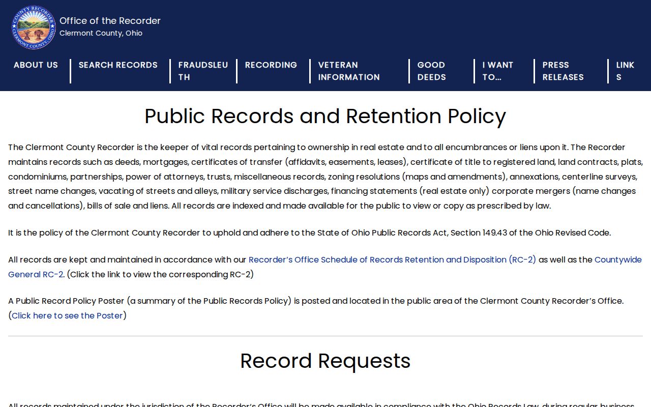
The Recorder’s public-records policy explains the office’s stewardship of recorded real-estate materials.
Use the document role, date, parcel, and legal description together. A name’s appearance as grantor or grantee confirms a role in one recorded transaction, not a current neighbor relationship.
Miami Township Neighbors and Voter Tools
Ohio’s ordinary voter screen is a one-person check. It requires First Name, Last Name, and County, then may offer street-name narrowing after a broad result. That design is an important boundary: it is not a block roster. A public result should be read only for the registration, precinct, or polling details the live screen displays. Confidential voter records, including protected Safe at Home participants, are not public.
Clermont’s official BOE Walking List is a separate election route. It can produce registered-voter address reports after selections for party, district, and precinct, plus an output format and Generate Report action. It is not proof of a current household and remains subject to voter-file exclusions.
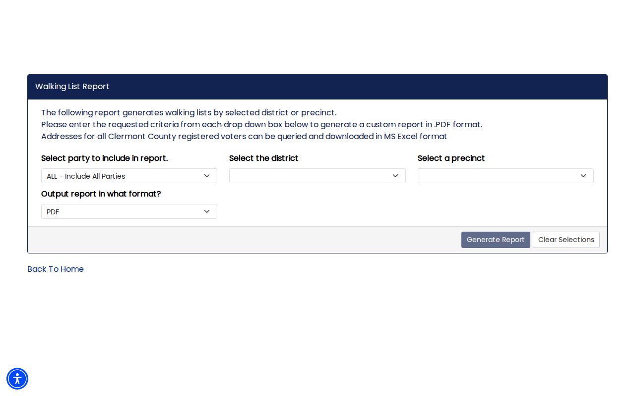
Keep the two tools separate. The individual lookup corroborates one public record; the Walking List is a controlled election-data output route, not a substitute for careful property or occupancy research.
Official Sources for Miami Township Neighbors
Official records and commercial neighbor-lookup categories answer different questions. Official sources identify the custodian, the record’s date, and the legal limits around disclosure. Commercial tools can combine older or unverified material, may update late, and do not replace a current Auditor, Recorder, election, or court record. Compare the category of evidence rather than treating a compiled profile as confirmation.
| Official records | Source-dated parcel, title, election, permit, or archival facts from the responsible public custodian |
|---|---|
| Commercial lookup category | Compiled data that can contain old, mixed, or unverified entries and needs independent confirmation |
| Best use of a map | Parcel adjacency, roads, and jurisdiction layers, not a claim about current household membership |
For a correction, use the actual custodian. Clermont offices do not have to create a new list or confirm unpublished personal facts by phone, but a focused Ohio Public Records Act request can seek an existing nonexempt record from the office that maintains it.
Historic Miami Township Neighbor Context
Older block research takes a different route. The Clermont Library genealogy resources include catalog access, historic newspapers, Sanborn maps, and local-history collections. The Cincinnati Enquirer archive covers 1841 through 2009. Search historic community terms as well as the modern township name: O’Bannonville or O’Banionville, Perintown or Perin’s Mills, Mulberry or New Salisbury, Branch Hill, and Guinea City. An old directory or newspaper mention is context for a specific date, not continuous proof of occupancy.
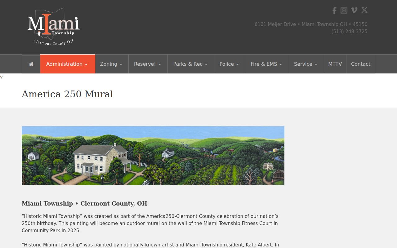
The Township’s Historic Miami Township mural project offers a local-history entry point for place names and community stories.
Branch Hill was laid out in 102 lots in 1873, and Guinea City’s post offices ended when Loveland delivery began in 1907. Such details help decode older maps and correspondence but should be confirmed by legal description and road context.
The Clermont County Genealogical Society Collection at Batavia Branch can consider a focused staff-assistance question, though a response may take time. Give the exact address or historic community, name variants, date range, and the record type sought. A catalog item, obituary, yearbook, directory, or map can place a block in a period without creating a present-day list of neighbors.
County Records Management preserves 6,500 historical journals and plat books, although a request still begins with the office of origin. Those books can help resolve an older lot or street reference after the current parcel and legal description have been established.
Miami Township Block Change Records
Permit Central and Township Community Development can provide a better record of physical or land-use change than a neighbor search. Retained permit and inspection records may establish a project chronology. Completed-project construction plans are destroyed, so a request may not produce a complete set of plans. Newer streets can also have a shorter retained record trail than older subdivisions.
No official Miami Township HOA or neighborhood-association member directory was verified in the research. Community or association contacts are private unless the organization elects to publish them. For current local-government channels, use Community Development and public meeting or board-zoning notices instead of assuming an association list exists.
County GIS downloads add context through parcel, address, road, ZIP, precinct, township, zoning, and school-district layers. The county listed 2025 updates for address, parcel, road, and ZIP data. Date a map-derived observation and recheck the current viewer, particularly where development or a boundary layer may have changed.
The Township’s 2025 Fire/EMS report describes current and planned growth projects. That context can explain why a nearby street has a short public record trail, but it does not establish a parcel’s history on its own. Confirm actual parcel dates and transfer history through the Auditor and Recorder, and use Permit Central for retained project records.
Miami Township Neighbors Privacy Limits
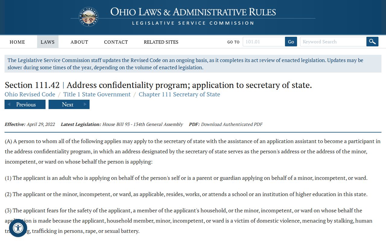
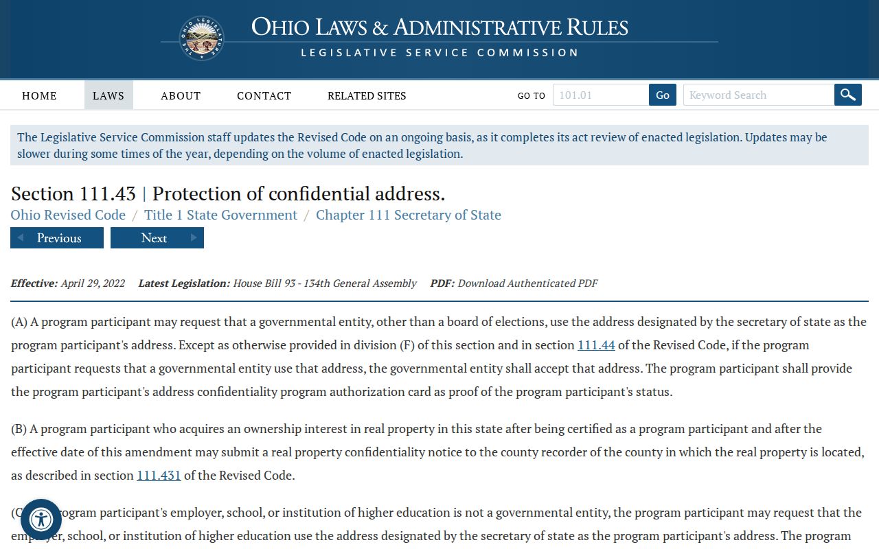
Ohio’s public-records framework does not create a blanket right to expose every address connection. R.C. 149.43 protects information made confidential by other law. Safe at Home is Ohio’s address-confidentiality program for qualifying participants facing specified safety risks. R.C. 111.42 covers eligibility, and R.C. 111.43 supports use of a Secretary-designated address and a real-property confidentiality notice for later-acquired real estate. Confidential voter records are not public.
The official text of R.C. 111.42 describes Safe at Home eligibility.
The official text of R.C. 111.43 describes the designated-address and confidentiality provisions.
Personal identifiers, protected court material, and motor-vehicle data have separate restrictions. Do not try to bypass them or use a record to make an unwelcome contact.
Lawful use. Use Miami Township neighbors records for personal, civic, property, or historical research only. Do not use public information to stalk, menace, harass, or harm a person; R.C. 2903.211 and R.C. 2917.21 may apply even where a source is public.