
Miami Township Postal Coverage
Only the ZIP relationships verified in township and county research belong in a Miami Township ZIP code directory. The table distinguishes a postal identity from the township boundary and separates the Batavia county-office address from Miami Township coverage. It is intentionally not a complete ZIP list. Any possible overlap not verified here needs an exact USPS delivery check and a county GIS comparison.
| ZIP | Areas evidenced | Postal identity | Boundary note |
|---|---|---|---|
| 45150 | Miami Township headquarters and much of the township use this mailing ZIP. | Milford | Verified township address, but not all 45150 addresses lie in Miami Township. |
| 45140 | Official permit records show Branch Hill-Guinea, Cole Farm, Wards Corner, and Ridgewood-area examples. | Loveland | Verified township examples, not a complete township-wide claim. |
| 45103 | County-seat address used by county offices. | Batavia | A custodian ZIP, not Miami Township coverage. |
| Unverified overlap | No official township-specific list was located. | Check USPS | Confirm the precise address with USPS and GIS before stating coverage. |
The USPS ZIP Code Lookup is the delivery-address validator for the first check.
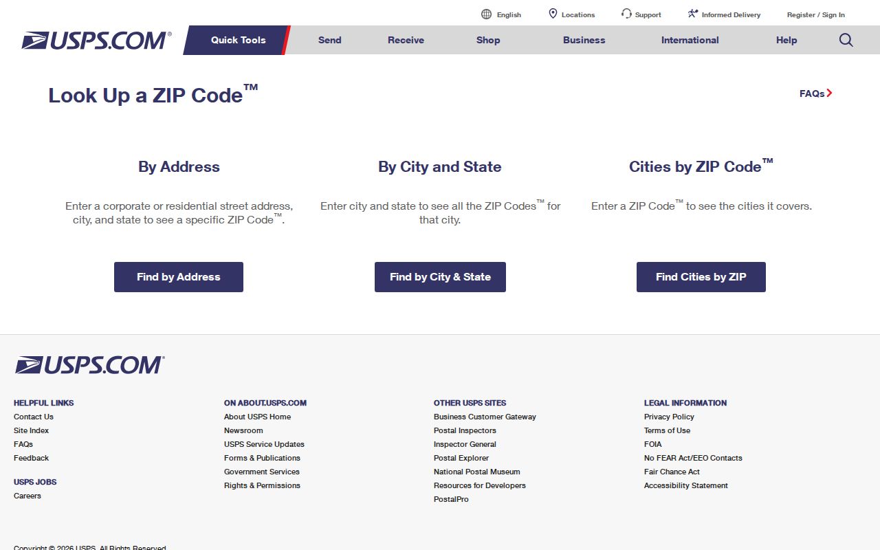
USPS resolves the postal result for the entered address. County map layers are still needed to test whether that delivery address falls within Miami Township.
Separate Miami Township From Postal Labels
Miami Township is in northwest Clermont County, but its headquarters uses a Milford, Ohio 45150 mailing address. That is a postal convention, not a change in jurisdiction. The township itself is a limited-home-rule township, and county property, deed, and court records are administered through their proper county custodians. A city name on an envelope does not determine a township boundary, parcel jurisdiction, or court venue.
County offices in Batavia use 45103, which is another reason to separate the office location from a claim about Miami Township delivery coverage. The township mailing label and a county-seat office ZIP can both be correct while referring to different places. Start with the address at issue, then compare its postal result, parcel, and township layer.
The township covers 33 square miles and is served by Milford Exempted Village, Loveland City, Goshen Local, and Clermont Northeastern school districts. School districts, mailing labels, police service areas, and neighborhood names can cross or diverge from ZIP geography. Use the exact physical address and the township layer before assigning a record to Miami Township.
Verify Miami Township ZIP Delivery
Use both official systems for an address that may sit near a boundary. First, enter the complete delivery address in USPS. Second, open Clermont County's interactive-map catalog and use General Online Maps to inspect the address point, parcel, ZIP layer, and township layer. If the two tools seem to disagree, retain the USPS result for mail delivery and use the GIS township and parcel context for local-record research.
- Check the exact mailing address with USPS and record the delivery ZIP returned for that address.
- Search the address in General Online Maps and use Identify on its parcel or address feature.
- Turn on ZIP and township layers, then compare the parcel location with the township boundary.
- Use the parcel number or situs address in the Auditor record when a property or owner question remains.
The county interactive maps catalog is the gateway to the official GIS tools.
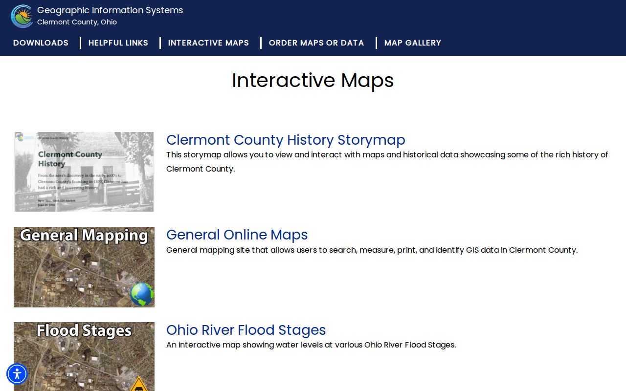
The catalog helps locate the Miami Township mapping route rather than treating a postal label as proof of a township line.
Use Miami Township Postal Clues
A ZIP narrows geography, but the official property and voter tools are not interchangeable ZIP-wide people lists. The Auditor starts from owner, situs address, or parcel number. The Ohio individual voter screen requires first name, last name, and county, then may offer a street-name choice after a broad result. Ohio's public voter-data page is a separate file-selection interface with daily county snapshots, not a simple neighborhood lookup.
For a property question, use the verified delivery ZIP only to guide an address search, then use the situs address or parcel to reach the Auditor record. For a named person, use the individual voter screen with the required name and Clermont County. A match should be read as a public registration result, not as proof of a whole household. Once a ZIP result narrows to a known road, the Miami Township street directory has the parcel-to-deed workflow.
Note: A ZIP can focus an address check, but the parcel number and legal description are the stronger bridges to ownership and deed records.
Check Miami Township ZIP Layers
General Online Maps is the county tool for comparing a possible ZIP boundary with a parcel, address, or township line. Its controls are intended for map context. They do not produce an occupancy list or settle a delivery question better than USPS.
| GIS control | Use in a ZIP check | What it cannot establish |
|---|---|---|
| Search | Locates an address, street, place, or mapped feature. | It does not validate postal delivery. |
| Identify | Selects a parcel or visible layer feature. | It does not create a household roster. |
| Layer visibility | Shows parcels, addresses, ZIPs, zoning, precincts, and other published layers. | Layers may represent different geographic systems. |
| Measure | Tests distance or area relationships near a boundary. | It does not change an official boundary. |
| Preserves the current layer context for comparison. | Recheck the live map for later changes. |
The county GIS map and download route supplies this context.
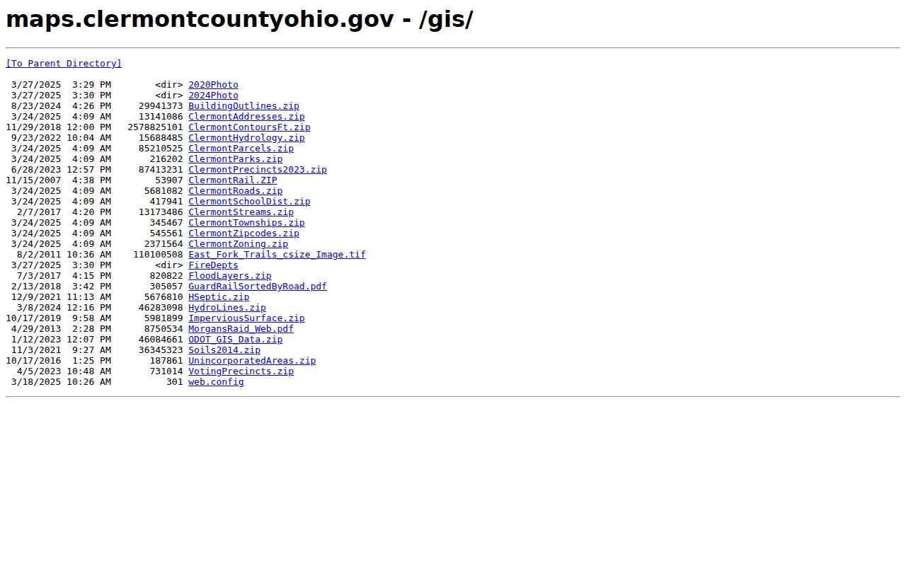
The county's map and download routes provide the parcel and layer context that a USPS result alone cannot supply.
Date Miami Township ZIP Map Data
The county download directory is a useful Miami Township supporting channel when a map needs closer review. It lists Clermont ZIP, address, parcel, road, township, zoning, precinct, and school-district data. The ZIP file, address file, parcel file, road file, and township-related material include published 2025 dates. A data layer is evidence of the date shown, so record that date and revisit the current viewer before making a present-tense conclusion.
The Clermont County GIS download page documents the available data route.
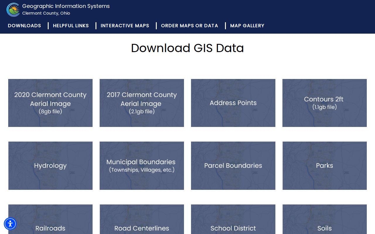
Downloads can support a carefully dated map comparison, while the live county viewer remains the practical check for a current parcel and township relationship.
Define Miami Township ZIP Address Terms
Miami Township postal and property records describe the same place in different ways. The terms below prevent a Miami Township ZIP code directory search from mixing a delivery result with a parcel description or a recorded legal reference.
- ZIP
- A USPS delivery-routing code for an address or postal destination. It is not a legal township boundary.
- ZIP+4
- An added four digits that refine routing beyond the five-digit postal code.
- PO-box ZIP
- A postal code used for post office boxes rather than proof of a physical location.
- Unique ZIP
- A code assigned for a single organization or special delivery arrangement; it does not establish a township boundary.
- Carrier route
- A postal delivery sequence, not a county parcel or resident-record category.
A situs address is the physical location on an Auditor parcel. A mailing address is the owner correspondence destination. A legal description is the lot, block, subdivision, or survey language used in deeds and plats. These categories may all differ from a ZIP lookup result.
Search Miami Township's Earlier Postal Names
Historic community names can be more useful than a modern postal designation when a catalog, map, deed, or newspaper index does not recognize the current form of an address. Miami Township history identifies Branch Hill, Guinea City, Mulberry or New Salisbury, O'Bannonville, and Perintown or Perin's Mills. Search those names together with a road, parcel description, or nearby landmark, then verify the match through legal-description and map context.
Guinea City had successive post offices from 1886 until 1907, when Loveland took over delivery. That history does not create a modern ZIP conversion. It explains why an older postal or local reference may use a name absent from a current delivery address.
The Miami Township contact page shows the township's own present mailing and department context.
Use a current township mailing address as a government contact reference, not as a shortcut for assigning every nearby postal address to the township.
Confirm Miami Township Parcels
The property confirmation step belongs with the Clermont County Auditor parcel-number search. A parcel card can show the situs address, tax-roll owner, owner mailing address, legal description, land and building attributes, value or tax fields, transfer references, and mapped geometry. Those items help connect a validated delivery address to county property records.
Do not turn a parcel result into a complete resident assertion. Owner mailing information may be elsewhere, a legal description may replace the street address in a deed, and the parcel geometry has no household-member field. The Recorder's indexed annexations, centerline surveys, street-name changes, and street or alley vacations are useful if an older address trail stops.
The Auditor parcel screen is the direct source for this identifier-led check.
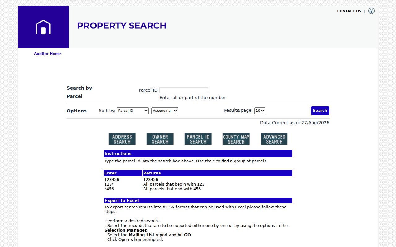
Use the parcel number to carry a verified location into property and deed research, rather than relying on a postal label alone.
Respect Miami Township ZIP Boundaries
ZIP boundaries and city or township limits serve different systems. USPS governs delivery routing. Clermont County GIS publishes map layers for ZIPs, parcels, addresses, and townships. The Auditor and Recorder rely on property identifiers and legal descriptions. Each is useful, but none should be substituted for another. A 45150 or 45140 label can be a useful lead, then the exact address and parcel resolve the government-record question.
For an unverified overlap, avoid publishing a township-wide claim. Check USPS for delivery, compare the GIS ZIP and township layers, and then review the Auditor's situs and parcel fields. This protects against a common error: assuming a familiar postal city names the actual local jurisdiction.